Google maps has a very useful distance measuring tool. You must specifically enable this tool, but once enabled you can use it for a number of aviation related tasks. To learn how to enable distance measuring, see here: https://support.google.com/maps/answer/1628031?hl=en
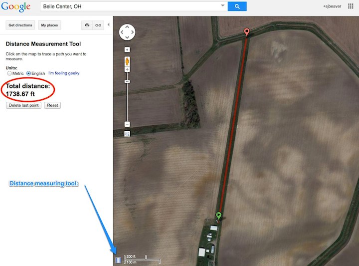
One of the first things I used this for was to measure the length of a grass runway. I was invited to fly to a friend's strip, but needed to learn some more about it. I simply located it in Google maps, selected "Satellite view", clicked the measurement tool, then clicked on each end of the runway:

1,740 ft (530 M) is plenty for a Bücker :)
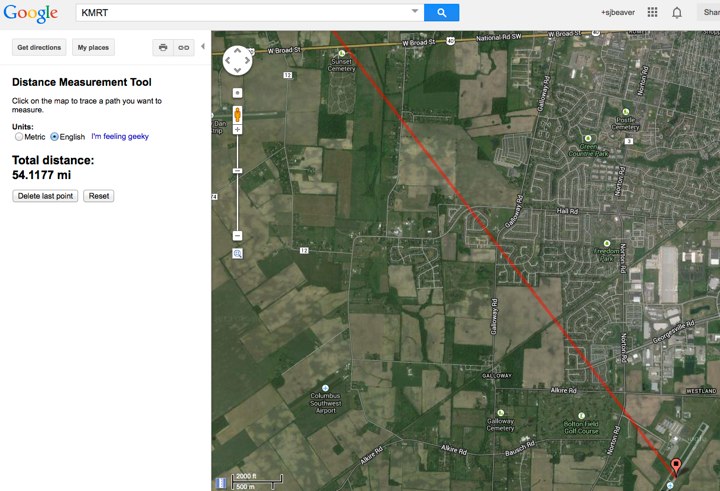
You can use the measurement tool to measure the distance between airports of course, although that type of flight planning is better done with something like www.skyvector.com On the other hand, what does the terrain you will be flying over actually look like? Is that pale green area on the sectional chart a nice smooth field, or a rutted bog?
Here again you can use Google maps.
- Type in your home airport and view it on the screen
- Click the measurement tool
- Click on the runway somewhere to mark the start of your journey
- Type in the code letters for your next airport (Google seems to understand these)
- Click on the measurement tool again
- Click on its runway
- Type in the next airport - and so on
Now Google has drawn a straight line between all of your waypoints. Select satellite view (if you have not done so already) and zoom in to the level of detail you want to see. Now you can see the actual terrain over which you will be flying, and make some decisions about whether or not you are really comfortable flying over that sort of country.

Here is another useful tip for using Google maps: Locate some point of interest on the map, place your mouse over the exact point you are interested in, right-click and select "What's here" from the pop-up menu. Now look at the Google maps search bar. It is displaying the lat/long of the point you selected in a format ready to type into your GPS! (If your GPS prefers degrees/minutes/seconds format, convert it here: http://andrew.hedges.name/experiments/convert_lat_long/ )

Thanks Google :)

