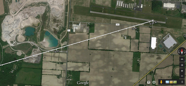
Earlier in the year I wrote about how it was possible to enable distance measurement in Google maps and so see your track over the ground. Unfortunately a few weeks after I wrote that, Google revamped their maps service and disabled distance measurement.
Happily it is now back and is better than ever. Just right-click on a place on the map and select "Distance measurement". Now move to your destination and left-click. You will not only see the course line and the distance, but the new line is graduated in your choice of miles or Kilometers. Conveniently Google maps understands airport identifiers making it easy to find them using the search box.

Of course you can select satellite view (as shown here) or map view if you prefer not to see the terrain.

